


9 km | 16 km-effort

Benutzer


Kostenlosegpshiking-Anwendung
 SityTrail
IGN / Geografische Institute
SityTrail World
Die Welt öffnet sich für Sie
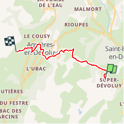
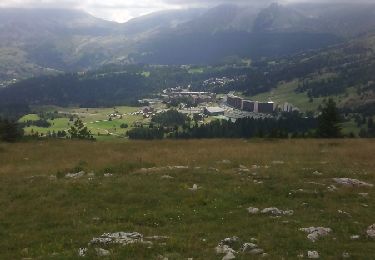
Tour Wandern von 8,3 km verfügbar auf Provence-Alpes-Côte d'Azur, Hochalpen, Le Dévoluy. Diese Tour wird von tracegps vorgeschlagen.
Une randonnée au cœur des Hautes Alpes. Agréable à faire. Décor de toute beauté pour les amoureux d'une nature assez sauvage.


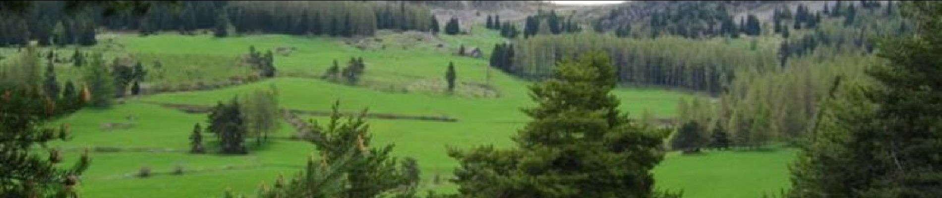
Wandern

Wandern

Wandern
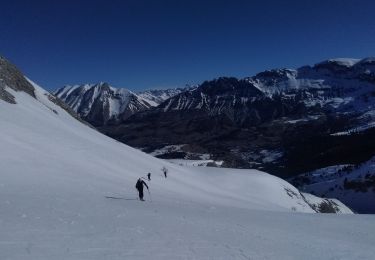
Skiwanderen

Skiwanderen

Mountainbike
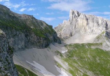
Wandern

Wandern
Wandern